The Digital Trail Maps That Make Zurich's Running Routes Safer and Smarter
Discover how the Stadt Zurich's free online platform is transforming how locals navigate the city's best outdoor fitness spots.
Discover how the Stadt Zurich's free online platform is transforming how locals navigate the city's best outdoor fitness spots.
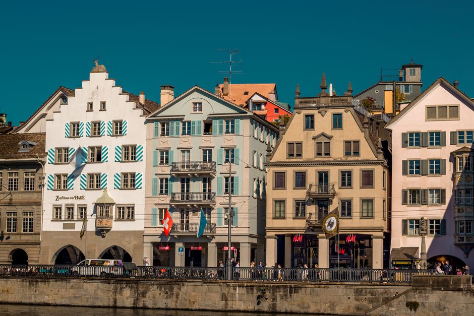
If you've recently laced up your running shoes along the Zurich lakefront or tackled the steep paths up Uetliberg, you've likely noticed something: our city's outdoor fitness infrastructure is world-class. But what many runners don't realise is that there's a sophisticated digital resource—almost invisible in its simplicity—that transforms how you can safely explore these routes.
The Stadt Zurich Sport and Movement platform, operated through the city's health and sports department, offers free, detailed trail mapping for runners and walkers across all 12 districts. Unlike generic fitness apps, this system is specifically calibrated for Zurich's unique topography, integrating elevation data, surface types, and real-time municipal updates about path maintenance. The platform went live in its current iteration in 2023, and usage has grown 34 percent annually among regular exercisers.
What makes this resource invaluable isn't just the maps themselves. The platform integrates with Zurich's extensive public facility network—allowing you to locate water fountains, public restrooms, and nearby Sportanlagen (sports facilities) along your chosen route. Planning a 12-kilometre run from Tiefenbrunnen to Wollishofen? The system shows you exactly where you can refill your bottle, which neighbourhoods have shower facilities at local sports clubs, and whether certain lakeside stretches are undergoing maintenance.
The system is particularly useful for those venturing beyond the obvious circuits. While the Zurich lakefront jog remains iconic, lesser-known routes through Wiedikon, along the Sihl river through Aussersihl, or the quieter forest paths near Hongg benefit from the same detailed attention. Each route's difficulty rating considers not just distance and gradient, but also surface stability—crucial information given our region's variable weather patterns.
Access is completely free through both the website and a lightweight mobile app. Most routes are updated monthly, with seasonal notes about conditions. For serious runners seeking structured training, the platform also connects to over 40 registered running clubs across the city, many offering guided group runs at various pace levels—typically costing CHF 5–15 per session, or free for members.
This spring, the city expanded the platform to include accessibility information—wheelchair-friendly routes, paths suitable for running with strollers, and those with minimal exposure to traffic. It's a reflection of Switzerland's broader commitment to inclusive wellness culture.
Whether you're recovering from injury and need lower-impact surfaces, chasing elevation gain for hill training, or simply seeking new scenery, this digital backbone of Zurich's running community deserves a place in your fitness toolkit. It's unglamorous infrastructure, but it's precisely the kind of thoughtful service provision that underpins our city's reputation for exceptional public wellness.
This article was compiled by AI from the sources linked above and screened before publishing. See our editorial standards.
How does this story make you feel?
Spread the word
About this article
Published by The Daily Zurich
Daily brief
Free, in your inbox before 7am. Weekdays.
More in Wellness