Zurich’s Top Walking Trails: Best Routes Ranked by Distance and Difficulty
From lakeside strolls to alpine hikes, here’s where locals rate the finest walking trails in Zurich—plus tips on what to expect in distance and challenge.
From lakeside strolls to alpine hikes, here’s where locals rate the finest walking trails in Zurich—plus tips on what to expect in distance and challenge.
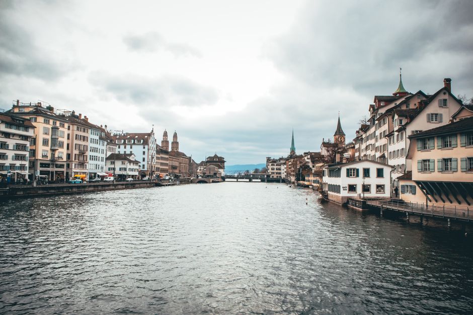
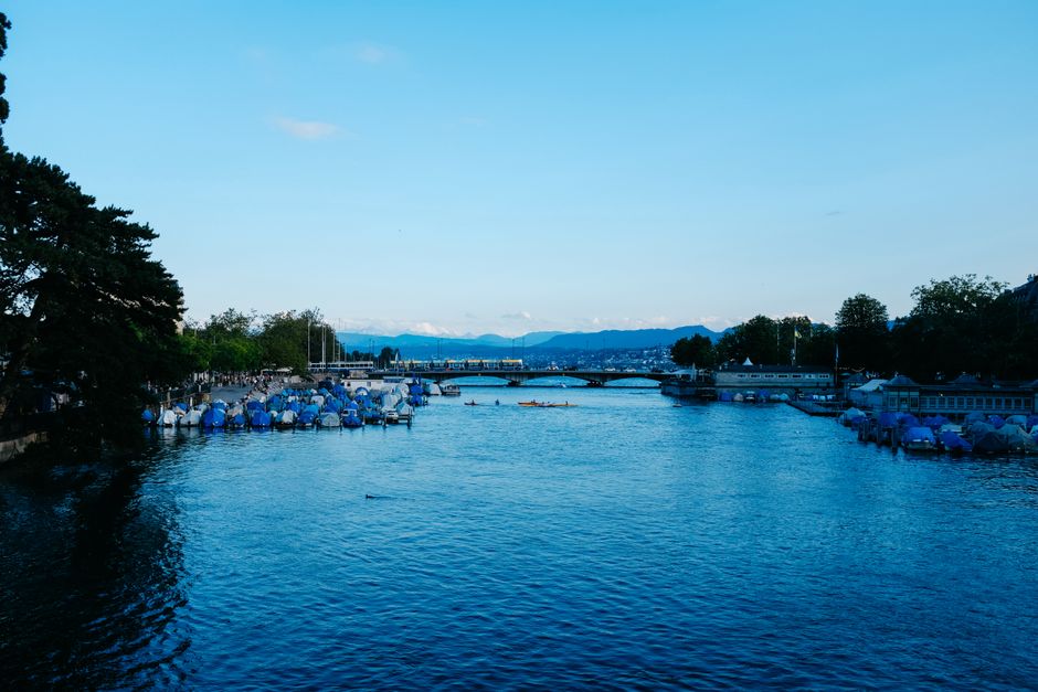
The Landiwiese trail on the edge of Lake Zurich has overtaken Uetliberg’s summit tracks as the city’s most popular walking route this summer, according to a fresh analysis by the Zurich Sports Office. The ranking comes as Zurich residents increasingly turn to local parks and green spaces in search of respite from early summer heatwaves and packed fitness centres.
The city’s trails aren’t just a scenic escape—they’re a practical health solution. With Switzerland posting a record 44% of adults participating in outdoor exercise at least twice weekly, according to the Bundesamt für Statistik, access to routes suitable for all abilities is crucial. And while Zurich’s famed Wellness Map lists over 110 trails in Canton Zurich alone, many walkers struggle to find reliable information on distances and difficulty before lacing up their trainers.
Zurich’s recreational services, led by Sportamt Zürich, have curated an official rating of core walking trails for 2026. At the accessible end, Landiwiese Park’s lakeside circuit (1.8km, flat terrain) runs from Mythenquai to Saffa-Insel and remains wheelchair- and stroller-friendly—ideal for beginners or families. The path, newly resurfaced in April, is also a hotspot for early morning joggers and local dog walkers.
In district 7, the Zürichberg Forest Trail (Ringweg Zürichberg) offers a moderate challenge: its 5.6km loop begins at Loorenstrasse and weaves through shaded beech woods, rising 160 metres in elevation. For those aiming higher, the classic Uetliberg Summit Track (Triemli-Uetliberg) is a steep 4.5km ascent from Triemlistrasse, with a 400-metre climb rewarded by 360-degree city views at the Uto Kulm Hotel. The trail is clearly signposted but can become slippery in wet weather—hiking shoes recommended year-round.
Zurich’s city council tracks trail use with sensor counters: from May to June, the lakeside Landiwiese loop recorded an average of 4,300 walkers on peak weekends. Uetliberg summit trails, once the preserve of seasoned hikers, now see over 2,800 climbers some Sundays, driven by a surge in local ‘mountain micro-adventures.’ City maintenance teams have responded by increasing path resurfacing projects this year—work on the Sihlwald segment south of Leimbach starts 10 July, with expected disruptions through August.
Visitors should note that hiking or walking in Zurich is free on public routes (save for some specialty guided walks, which start at CHF 25 per person via Zürich Tourismus). Detailed difficulty gradings, interactive maps, and real-time route updates are available on the Stadt Zürich Sportamt website, and Zurich’s “Bewegung am See” app has become a go-to tool for walkers planning outings from Seefeld to Albisgütli. City officials recommend checking for weather and trail work alerts before setting out, especially on mountain or forested routes.
With July temperatures already approaching last summer’s high of 33°C, wellness experts urge Zurichers to favour early morning or late afternoon outings, keep hydrated, and avoid steep gradients during midday. For anyone new—or returning—to walking, starting with short, level urban park loops is the safest bet before plotting climbs up Zurich’s myriad hills. For detailed route rankings, seasonal advice, and updates, locals can consult the regularly refreshed digital map at sportamt.ch/trails.
How does this story make you feel?
Spread the word
About this article
Published by The Daily Zurich
Daily brief
Free, in your inbox before 7am. Weekdays.
More in Wellness