The Free City Running Map Every Zürich Athlete Should Have Bookmarked
Zürich's official Sport Bureau has quietly built one of Europe's most comprehensive outdoor fitness databases — and most residents have never used it.
Zürich's official Sport Bureau has quietly built one of Europe's most comprehensive outdoor fitness databases — and most residents have never used it.

Zürich Stadt Sport, the city's public sports coordination office, maintains a freely accessible interactive trail map covering more than 80 marked running and fitness routes across all 12 city districts. It is updated twice yearly, costs nothing to access, and the majority of the city's estimated 180,000 regular runners have never opened it. That gap is worth closing, particularly now.
July is when Zürich's outdoor fitness culture shifts into high gear. Temperatures in the low-to-mid 20s Celsius keep road surfaces manageable, daylight stretches past 9 p.m., and the city's parks empty of tourist crowds after the weekend rushes. Sports physicians at the Schulthess Klinik on Lengghalde — one of Switzerland's foremost musculoskeletal hospitals — consistently flag the summer months as prime time for new runners to pick up overuse injuries precisely because they train harder without a structured plan. A reliable, route-graded resource isn't a luxury; it's protective.
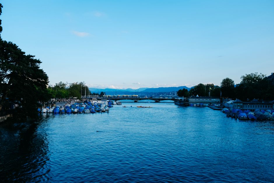
The single most used running corridor in the city is the Zürichsee promenade, running roughly 4.2 kilometres from Bürkliplatz south through Riesbach to the Zürichhorn park. The surface is largely paved, elevation gain is negligible, and the route passes the Freibad Tiefenbrunnen — an outdoor public pool open from May through September with a day entry fee of CHF 8 for adults as of the 2026 season — making it easy to combine a run with a post-training swim. On weekday mornings before 8 a.m. the path is quiet enough to hold a tempo effort without weaving through pedestrian traffic.
Uetliberg is the other anchor. The mountain sits at 871 metres above sea level and is reachable by S10 train from Zürich HB in 22 minutes. The Planetenweg trail — a 7.4-kilometre single-track route descending from the summit toward Triemli — is graded as moderate by Zürich Stadt Sport's own classification system and gains roughly 300 metres of cumulative elevation. Trail runners who want something harder use the Üetliberg-Albis ridge, which extends the route to around 15 kilometres with exposed sections that require trail shoes. Both routes are marked with the orange-and-white Swiss hiking waymarks maintained by SchweizMobil, the national trails organisation based in Bern.
Stadt Sport Zürich's Sportanlagenplan — accessible through the city's official portal at stadt-zuerich.ch/sport — lets users filter by activity type, surface, difficulty, and district. As of the July 2026 update it lists 23 outdoor Vita Parcours fitness circuits inside city limits, each with between 15 and 20 exercise stations, all maintained at public expense and free to use year-round. The nearest to the city centre is the Rieterpark circuit in Wiedikon, a 12-station loop that starts beside the Museum Rietberg on Gablerstrasse.
A second resource worth knowing: Zürich Running, a nonprofit club founded in 2009 that publishes its own route library independently of the city. The club's Wednesday evening group runs depart from Helvetiaplatz in Kreis 4 at 6:30 p.m. and are divided into pace groups ranging from 5:30 per kilometre down to 4:00. Membership costs CHF 60 per year. For anyone new to the city or returning from injury, the structured pace groups offer something no app provides — a human check on whether you're pushing too hard too soon.
Switzerland's public health infrastructure means a sports medicine consultation is genuinely accessible here. The Balgrist University Hospital in Zürich-Witikon operates a dedicated sports medicine outpatient clinic, and most basic Grundversicherung policies cover an initial assessment. If you're building a new training block this summer, booking a baseline appointment before the mileage climbs is the kind of preventive step the system is actually set up to reward. Use the city's trail database to plan the routes; use the clinic to make sure your body is ready for them.
How does this story make you feel?
Spread the word
About this article
Published by The Daily Zurich
Daily brief
Free, in your inbox before 7am. Weekdays.
More in Wellness