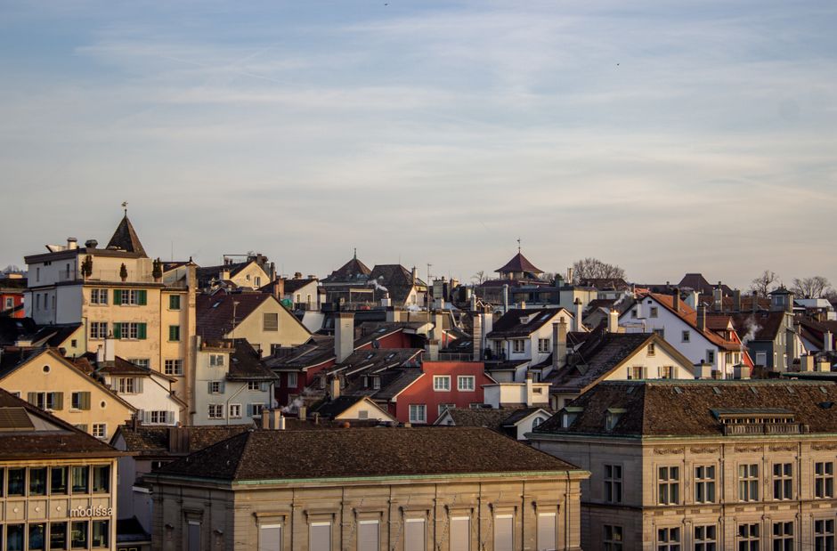
Zurich’s walking trails are seeing record numbers, with the city council reporting a 28% increase in foot traffic since 2023 on the most popular paths. Weekend mornings now draw hundreds to spots like the Uetliberg ridge and the glimmering shores near Zürichhorn, as residents swap gym memberships for Swiss air and spectacular cityscapes.
Why Ratings Matter Now
The rising interest in measured walks comes as Zurich’s public health department continues its citywide Velo-&-StepFit campaign, launched in April, urging residents to reach at least 150 minutes of brisk outdoor activity weekly. Whether training for the Greifenseelauf or decompressing after a high-stress week in Kreis 1, locals increasingly seek routes with clear guidance on distance and difficulty. Many Zurichers—especially newcomers and those returning to fitness—want signposted walks that match their goals and limits.
“Many people guess, but having real ratings for distance and slope helps avoid both overexertion and underperforming,” says Michael Lüthi, coordinator for Sportamt Zürich’s Bewegungsförderung. The city’s major parks and fitness spots now list walk details on digital boards and at park entrances, making it easier than ever to plan a safe, satisfying route.
Zurich’s Top-Rated Walks: Easy to Challenging
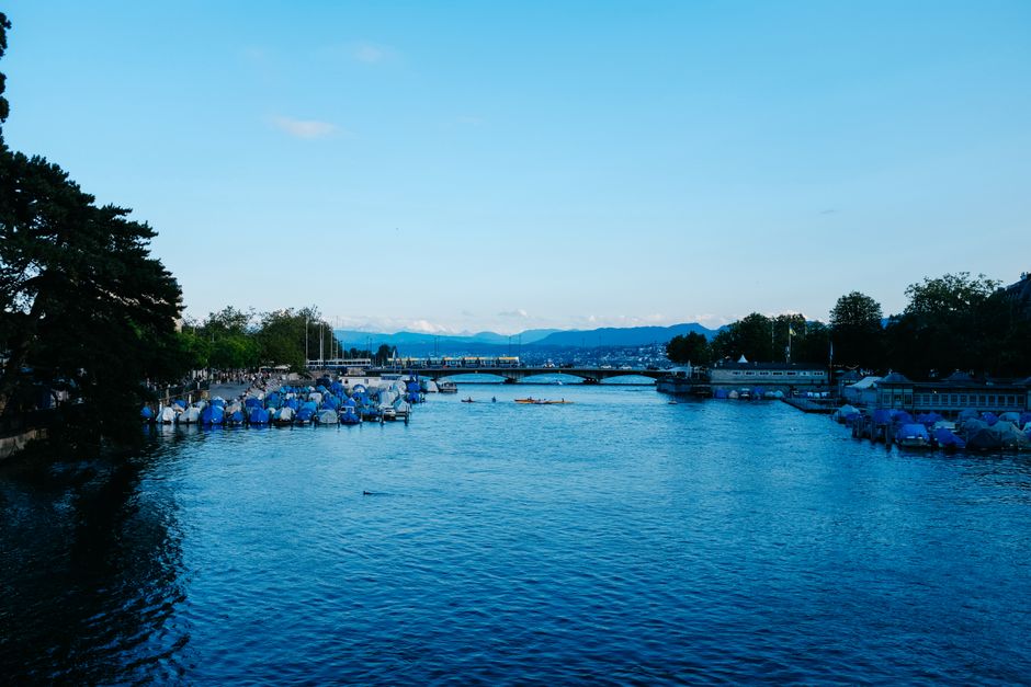
For those after a gentle introduction, the Zürichhorn to Bellevue lakeside promenade delivers a near-flat 2.2 km (each way) paved route hugging the water. Start at Zürichhorn Park—easily reached by tram 4 or 2—and wind your way past the Chinagarten, the historic Strandbad Tiefenbrunnen, and bustling Seefeld cafés. Here, the maximum elevation gain is just 10 metres. This is a favourite family outing: buggies, dogs, and joggers blend with senior citizens seeking a social stroll with top views of the Alps.
For more ambitious walkers, Uetliberg’s Höhenweg ranks as Zurich’s most famous urban mountain hike. From Triemli station, a 5.3 km well-marked ascent leads up through forest to the hotel and lookout at the summit (elevation 871 metres, representing a gain of about 440 metres). City maps rate this as “medium-challenging”—there are regular benches and a water refill fountain at Balderen. Most people manage the climb in 90 minutes, though runners shave the time in half on weekends. Uetliberg is well connected via the S10 S-Bahn line, with frequent trains dropping hikers at both the base and summit.
For a mix of easy and hilly, the Waid City Circuit (Waidweg), starting at Bucheggplatz in Wipkingen, offers a scenic, undulating 4.5 km loop. The route delivers forest, panoramic city overlooks, and a steady but moderate elevation profile. The trail is part of the city’s signposted “Vitaparcours” loops, which blend outdoor fitness equipment with graded walking terrain.
Walking by the Numbers: Zurich’s Active Surge
New 2026 data from Zürich Tourismus shows that 73% of city residents report weekly use of local parks for walking or running—up from 56% in 2021. The Uetliberg trail alone hosted an estimated 370,000 individual walks and hikes in the past 12 months, according to Sportamt Zürich. Starting this summer, the city has expanded wayfinding signage, with panels at Bellevue, Zürichhorn, and Triemli now listing route distances, average times, and difficulty gradings. Entry to public trails remains free, while access to lakeside changing cabins (such as at Strandbad Tiefenbrunnen) costs CHF 8 for adults.
For those interested in guided walks or structured fitness, Stadtsport Zürich now runs free Saturday morning walking groups from Enge harbour, tailored to various speeds and ambitions. Details and sign-ups are posted on the official city website and at local Apotheken windows.
Zurich also participates in the annual “Erlebnis Zürich zu Fuss” week—set for 19-25 August 2026—when dozens of guided walks will showcase hidden trails, local history and expert-rated segments for fitness trackers. Most public health insurance plans still cover an annual fitness consultation, making it a good moment to talk with your huisarts before tackling the more challenging routes.
Whether your sights are on a gentle lap around Zürichhorn or pushing for a sunrise summit, Zurich’s extensive, clearly rated trail network means there’s an outdoor walk to fit every level. For full route maps and current difficulty grades, consult the Sportamt’s online portal or the city’s InfoPoints at major public parks.